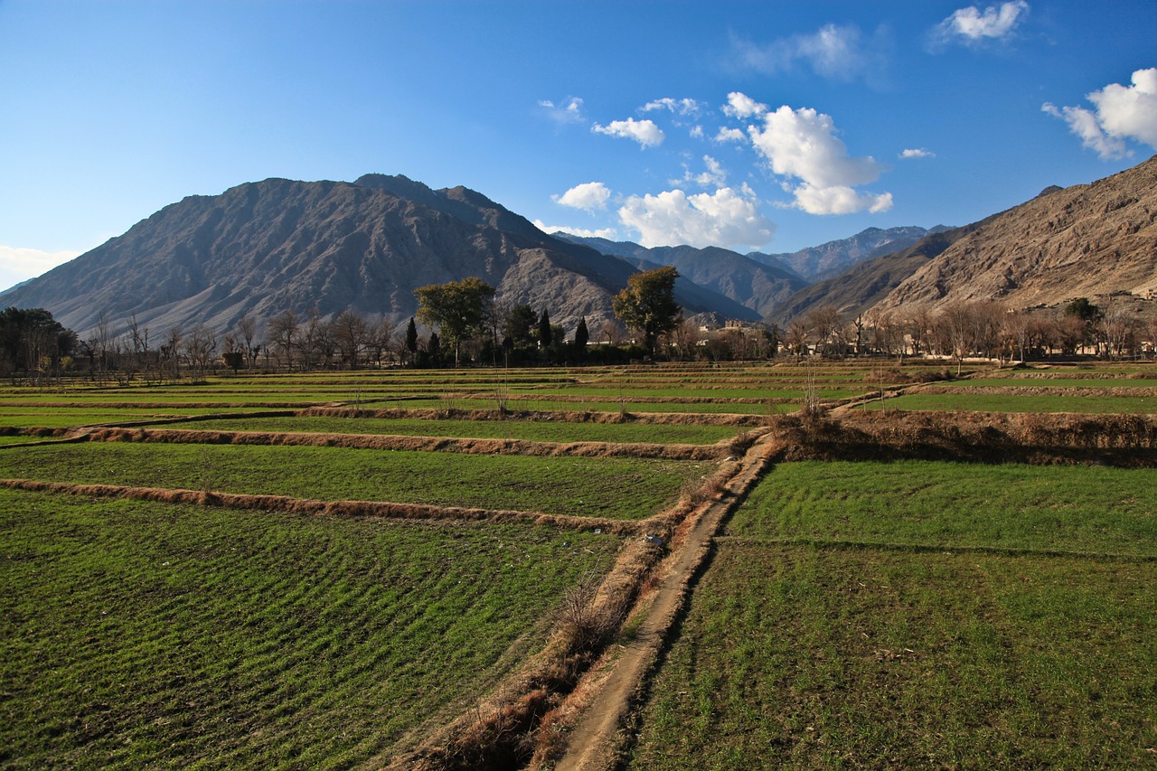
With a history stretching back thousands of years and a landscape full of ancient monuments and cultural sites, Afghanistan truly is a dream destination for archaeologists. However, factors like challenging environmental conditions, transportation and accessibility issues, and security concerns also mean that the country isn’t the easiest place to conduct fieldwork.
To overcome these obstacles and continue the quest to explore Afghanistan’s treasure trove of cultural heritage, a team of resourceful, US-based archaeologists is employing a surprising new tool: satellites. Drawing on satellite imagery and other geospatial technologies, the Afghan Heritage Mapping Partnership is uncovering never-before-seen archaeological sites across Afghanistan and forging a new path for archaeological research and cultural heritage preservation monitoring in difficult-to-access regions. Read on to learn more about this exciting project.
What is the Afghan Heritage Mapping Partnership?
The Afghan Heritage Mapping Partnership (AHMP) is a three-year project that aims to use imagery from satellites and other geospatial technologies to build a comprehensive database, known as a geographic information systems (GIS) database, of archaeological sites in Afghanistan. The AHMP is based at the Center for Ancient Middle Eastern Landscapes, a department at the Oriental Institute of the University of Chicago, and is supported by grants from the US State Department and the US Embassy in Kabul. Other partners working on the project include the Afghan Institute of Archaeology in Kabul and Kabul Polytechnic University.
How did the AHMP get started?
The AHMP was first conceived by Dr. Gil Stein, a University of Chicago archaeologist and the director of the Oriental Institute. Concerned about the impact that years of conflict, development pressures, and environmental challenges could have on Afghanistan’s cultural heritage, Dr. Stein and other cultural heritage experts met with Afghan president Ashraf Ghani in 2014. Ghani, who holds a PhD in anthropology from Columbia University and served as the top anthropologist for the World Bank, called for a unified and detailed effort to discover, identify, and catalog cultural relics from the country’s past; in doing so, he emphasized how critical cultural heritage is to economic development and the creation of a strong national identity. The following year, Dr. Stein’s team received a grant from the State Department, along with access to US government satellite imagery that is typically a full order of magnitude more precise than most images that are publicly available.
What are the goals of the AHMP?
Some of the top priorities for the AHMP team include:
Comprehensive inventory and mapping efforts—The backbone of the AHMP project is the creation of a comprehensive database of archaeological sites in Afghanistan, both those that have already been identified and cataloged (specifically, those that are listed in the Archaeological Gazetteer of Afghanistan, a 1982 publication serving as a primary resource for the AHMP project), and those that are previously unmapped. High-resolution geospatial datasets allow AHMP researchers to positively identify sites with exceptional accuracy, as well as offering important insights into how Afghanistan’s rapidly expanding cities and development projects are affecting areas of archaeological importance.
Monitoring site threats and destruction—Unfortunately, many archaeological sites in Afghanistan have already suffered as a result of conflict, looting, mining development, and urbanization. The AHMP aims to document and analyze the types and severity of destruction that have affected key archaeological sites, as well as examine areas where site preservation and protection efforts have proved effective. To accomplish these objectives, AHMP researchers work with time-based images, available through an online repository at the US State Department, to look at how sites have changed over time and to examine what risks might still be facing them.
Training Afghan researchers in the use of GIS technology—An important priority for the AHMP is providing on-the-ground training in geographic information systems (GIS) technology to Afghan archaeologists and cultural heritage specialists. To achieve this, scholars from the Oriental Institute worked with the GIS faculty at Kabul Polytechnic University, which has two GIS laboratories at its disposal. The goal of these training programs is to give archaeologists new tools to use in their work and teaching and to help introduce students in the urban planning and mining sectors to the importance of heritage preservation.
What discoveries have been made by the AHMP so far?
By late 2017, the AHMP had already made significant progress, with team members announcing that their work with satellite imagery had more than tripled the number of Afghan archaeological features that had previously been published. Some of the most exciting discoveries include the identification of 119 caravanserais—inns with courtyards—in the deserts of southern Afghanistan. Dated from the late 16th and early 17 centuries, these mudbrick buildings were important roadside stops for travelers along historic trade routes. The caravanserais are spaced roughly 20 kilometers from each other, which would have been about the distance that a large caravan could travel in a day.

